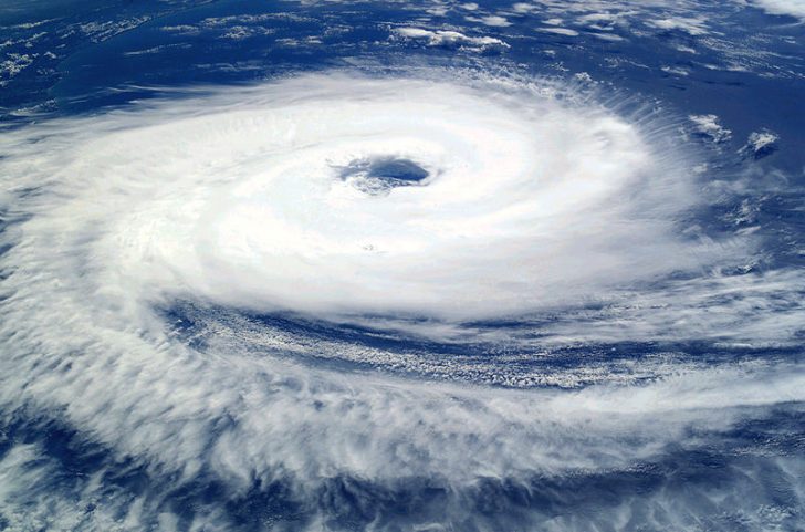
BERKELEY COUNTY, S.C. – Berkeley County remains under a tropical storm watch as Hurricane Ian approaches Florida. As of 5 p.m. Tuesday, September 27, 2022, Ian is a Category 3 storm with sustained maximum winds of 120 mph. The storm is moving north at 10 mph and is approximately 255 miles from Sarasota, Florida.
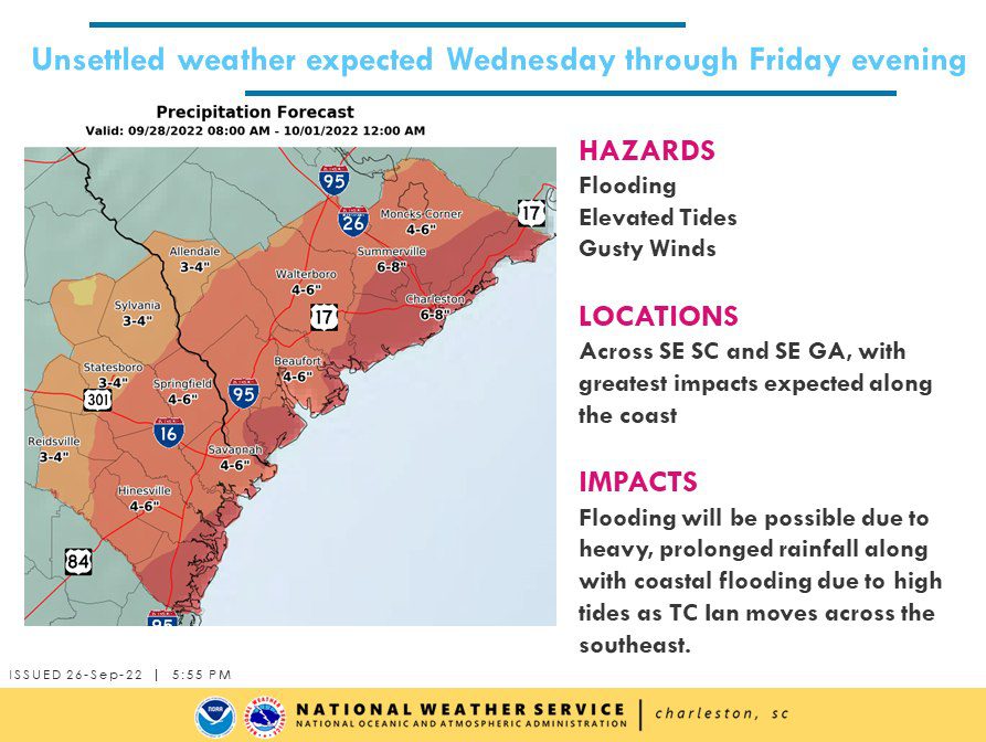
Berkeley County Emergency Management officials and leaders are closely monitoring the storm and have been meeting and discussing preparations for any potential impacts. While Ian’s direct path remains uncertain, it’s likely to cause a large-scale wind and rain event for Berkeley County, starting Thursday evening/early Friday morning.
Tropical storm force winds (39 mph and greater) are likely to be felt across the area. Expected rainfall is 4 to 8 inches. Other potential impacts from Ian, including risk for tornadoes and storm surge, remains low at this time for Berkeley County.

The County’s Emergency Operations Center (EOC) currently remains at OPCON 3 (normal operating conditions), with no activation at this time. Berkeley County leaders are encouraging citizens to prepare for Ian by making a plan and building an emergency kit. See more information HERE.
Sandbags are now available at the following locations:
- Hanahan – Railroad Avenue (in front of field #1 behind Trident Technical College)
- Moncks Corner – First Street near the railroad tracks (behind Moncks Corner Fire Department headquarters)
- Goose Creek – Goose Creek Fire Department headquarters, 201 Button Hall Avenue
- Cross – Cross Rural Fire Department Station 1, 1007 Shortcut Road, and Station 3, 1980 Old Highway 6
Starting Wednesday, September 28, sandbags will also be available at the following location: Daniel Island (City of Charleston) – Seven Farms Drive (behind Governor’s Park Dog Park.


Recent Comments